Setting & Character
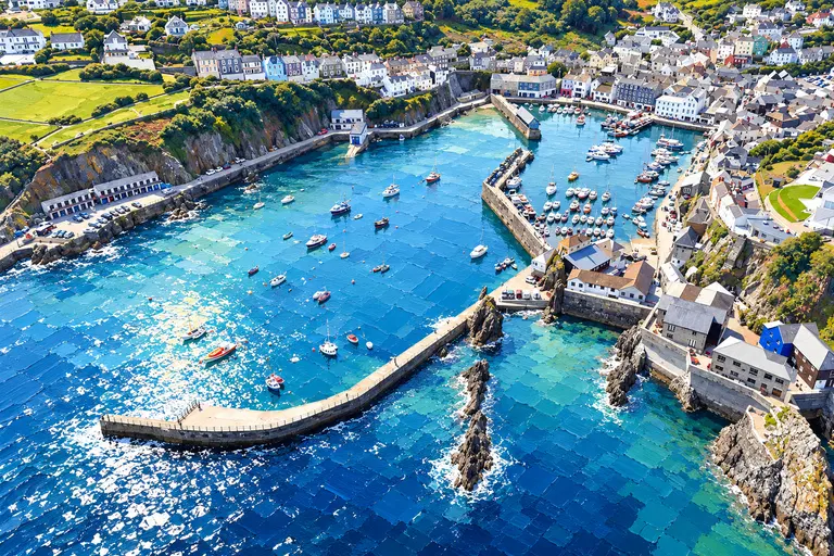
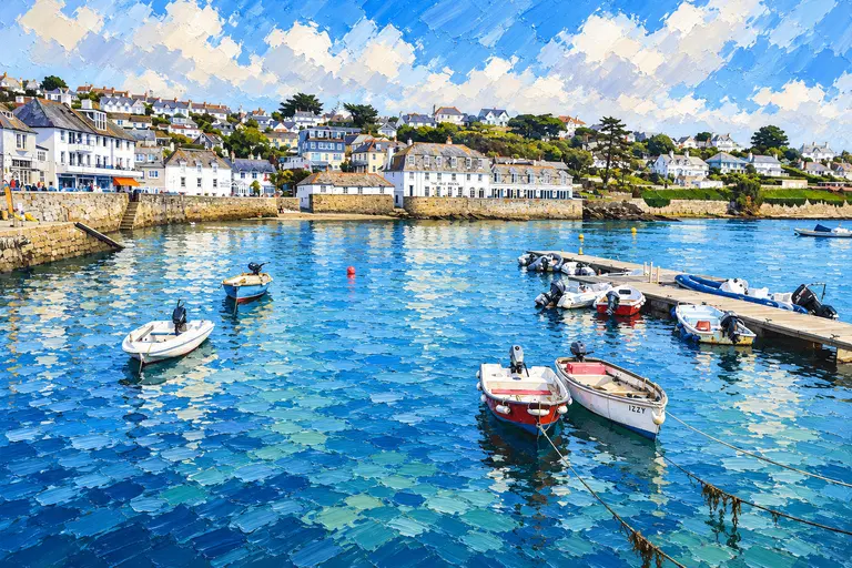
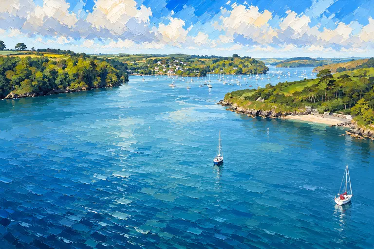
Falmouth sits on one of the world’s larger natural harbours — Carrick Roads opening to the Atlantic — with docks, Falmouth Haven’s leisure marina and the town waterfront sharing the same stage. Custom House Quay, the visitors’ marina and the green/yellow swinging moorings are the leisure heart; commercial shipping still moves close by.
Arrival by Sea
Close Carrick Roads on a current Admiralty chart for Falmouth Harbour and approaches (confirm the current chart number and edition before you sail). Busy docks and leisure traffic mix — watch shipping, obey harbour directions, and call Falmouth Haven on VHF Ch 12 for marina or mooring advice. The seasonal launch call sign is Arwenack.
If you are aiming for Port Pendennis Marina, call on Ch 80 (01326 211211). Outer berths are all-tide; the inner dock gate is tide-windowed — confirm the sill and timing with the marina.
Berthing Experience
Falmouth Haven Visitors’ Marina is cited at around 100 craft, with visitors typically up to about 16 m LOA and about 2.5 m maximum draught in the Visitors Guide — confirm on the day; rafting is customary. Contact ahead by phone, VHF Ch 12, Arwenack or marina staff. Published hours are commonly about 08:00–18:00 in summer and 09:00–17:00 in winter; out of hours, pick a berth or mooring and report by 10:00 the next morning (Guide).
Twenty-two deep-water visitors’ swinging moorings (green/yellow buoys, strop through the top ring) break down as nine up to 12.2 m, nine up to 18.2 m and four up to 24.3 m. Tender landing is at a dedicated marina area.
Anchorage between Custom House Quay and Falmouth Docks is allowed with harbour dues payable. You must have a working engine, leave contact details, and not leave the boat unattended overnight; you may be moved for commercial shipping at short notice. Check Notices, Falmouth Haven Ch 12 and the marina notice board for movements.
Seasonal stay offers (for example marina nights or mooring multi-night deals) change and often exclude July/August — confirm current offers rather than hard-coding them.
Facilities Afloat
Falmouth Haven lists fuel barge, Wi-Fi, showers, laundry, water and electricity among visitor facilities. Fuel barge telephone 01326 310993 — confirm products and hours with the Haven.
Marine Services
Port Pendennis Marina (landmark: National Maritime Museum tower) is the brief private-marina mention: VHF Ch 80, 01326 211211, [email protected]. Commercial pilots are on 01326 211395 / 07836 661668 (24/7) for shipping — leisure skippers stay clear and listen for harbour directions.
Ashore
Falmouth town, Custom House Quay and the National Maritime Museum sit within walking distance of the Haven. Pubs, shops and the docks skyline are the harbour’s dual character — leisure and commercial in the same view.
Best For
A deep-water Cornish harbour night with marina or swinging options.
- Crews arriving from Fowey or crossing Falmouth Bay from the Helford
- Skippers who want Haven marina facilities or deep-water visitor moorings
- Anyone comfortable sharing a commercial harbour and watching Ch 12
Less Suitable For
It is not a quiet creek, and anchorage rules are strict.
- Unattended overnight anchoring between the quay and the docks
- Skippers who want a silent empty harbour in peak season without rafting
- Deep-draught vessels assuming the published ~2.5 m marina window without calling
History & Local Character
Falmouth grew as a packet and docks harbour on Carrick Roads. The visitors’ marina and swinging moorings now sit alongside working docks — that mix is the point of the place.
Nearby Cruising
Fowey lies east; the Helford River is the quiet wooded pair across Falmouth Bay. Further west the Cornish coast opens toward the Lizard.
Skipper's Notes
Ch 12, shipping and the official tide links are the plan.
- Call Falmouth Haven Ch 12; Port Pendennis visitors also use Ch 80.
- Confirm marina LOA/draught and expect rafting.
- Anchoring: dues, working engine, attended overnight, ready to move for shipping.
- Use BBC Falmouth and EasyTide; watch harbour Notices.
Old Sea Dogs View
Falmouth is Carrick Roads for yachts: Haven on Ch 12, green and yellow moorings under the town, and the docks still earning their keep.
Tides & Weather
Use BBC Falmouth tide tables and ADMIRALTY EasyTide. Check Falmouth Harbour Notices for shipping and operational notes that affect leisure berthing and anchorage.
Information checked against official sources
The practical information in this Guide was checked against the source records below on 27 October 2026. Operational details can change — confirm with Falmouth Haven or the marina before arrival. Use a current Admiralty chart for Falmouth Harbour / Carrick Roads.
- Falmouth Harbour — Visitors’ moorings and anchoring
- Falmouth Harbour — Contact
- Falmouth Haven Visitors Guide (PDF)
- Port Pendennis Marina — location
- BBC / UKHO Falmouth tide tables
- ADMIRALTY EasyTide