Old Sea DogsSearch

A guide: tap for details A cruising area: tap to zoom in and see its guides

Loading the chart…

This map is for general orientation only and must not be used for navigation.

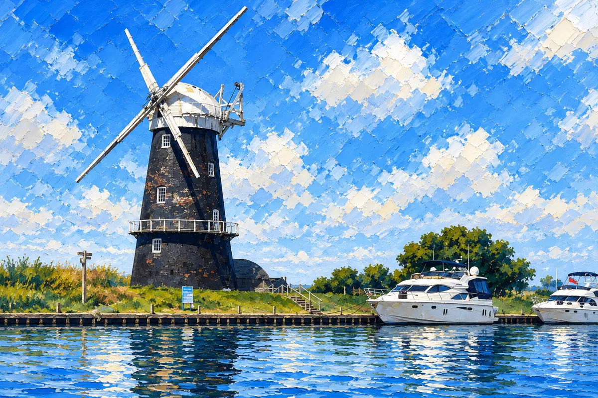
Painting of a black Broads windpump with white sails beside a quay and motor cruisers on bright blue water
The Broads, illustrated for Old Sea Dogs Guides. · Artwork supplied by Old Sea Dogs

Old Sea Dogs Guides

The Broads

Reed beds, slow rivers and big skies: Britain’s largest protected wetland, 125 miles of lock-free navigation, and 14 stop guides pinned on one map.

Cruising Area · Norfolk Broads

Welcome to The Broads

The Broads are not one harbour but around 125 miles of lock-free rivers and shallow lakes across Norfolk and north Suffolk. The Bure, Ant and Thurne make up the northern rivers; the Yare, Chet and Waveney the southern ones. Between them lies Breydon Water at Great Yarmouth — a tidal estuary you cross with the tide, not against it.

It is slow-boat country. Speed limits are 3 to 6 mph, medieval bridges decide where you can go, and moorings are every few miles if you plan ahead: staffed Broads Authority yacht stations, free 24-hour banks, pub staithes and boatyard dykes. This hub explains how the system works and links a guide for each of the main stops. Every stop is pinned on the map above.

Guide TypeArea hub — 14 stop guides
RegionThe Broads National Park — Norfolk and Suffolk
Navigation authorityBroads Authority (tolls, byelaws, yacht stations, free moorings)
Broads Control01603 756056 · [email protected]
TollsShort visit up to 28 days a year — tolls team 01603 756080
Speed limits3–6 mph over the ground, signed on the banks
Sea gatesGreat Yarmouth (Peel Ports) · Lowestoft via Mutford Lock (VHF 73)
Bridges VHFSwing bridges and Breydon Bridge Ch 12
Emergency999

How the Broads Work

Tolls. Every boat on the Broads needs a toll. Visitors can buy a short-visit toll for up to 28 days in a toll year. For 1 April 2026 – 31 March 2027, an 8 m motor cruiser costs £65.35 for 1–7 days or £130.70 for 8–14 days, and a 10 m cruiser £88.15 / £176.30; an 8 m sailing boat is £39.80 for a week. Buy at yacht stations or from the tolls team on 01603 756080. Harbour dues at Great Yarmouth and Lowestoft are separate.

Speed limits are 3, 4, 5 or 6 mph over the ground, signed on the banks. Wash matters as much as the number. Rangers enforce both.

Bridges, not depth, decide most routes. Clearances are published at average high water and fall as the tide rises — read the gauge boards. Potter Heigham Old Bridge (1.94 m) and Wroxham Bridge (2.18 m) have pilots. Reedham, Somerleyton and Oulton Broad swing bridges open on VHF Channel 12 or by phone, and Breydon Bridge lifts are booked with Peel Ports. Boats going with the current have priority.
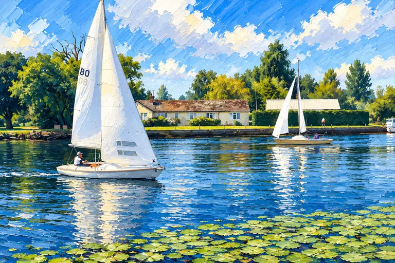
Painting of two white-sailed Broads dinghies on a lily-pad reach past a riverside cottage under a bright sky
Day-sailing on the Broads. · Artwork supplied by Old Sea Dogs

Mooring. Broads Authority yacht stations at Great Yarmouth and Norwich (£8 day / £18 overnight) and staffed quays at Reedham and Ranworth (£6 / £12) are staffed in season, and mooring there is prohibited when they close in winter. Free BA 24-hour moorings — Acle Bridge, How Hill, Horning Marshes, Potter Heigham and many more — fill the gaps. Pubs often let customers moor.

Tides, Breydon Water & the Sea Gates

The rivers are tidal well inland. The Broads Authority publishes a tide table for Gorleston (Yarmouth Bar) and average high-water differences: about +1 h at Great Yarmouth Yacht Station, +2 h 30 at Reedham, +3 h 30 at Acle, +4 h at Horning, Potter Heigham, Brundall, Beccles and Oulton Broad, +4 h 30 at Norwich and Wroxham and +5 h at Stalham.

The Yare, the lower Bure and the Waveney carry the strongest streams. Breydon Water is the crux: a wide, shallow estuary that dries outside the marked channel. Cross it around slack water, usually leaving Yarmouth Yacht Station just after low water to carry the flood up the Yare or Waveney, or arriving at Yarmouth near slack. Breydon Bridge (4.41 m at the span) lifts are booked with Peel Ports on 01493 651275 or VHF 12; weekend lifts must be booked by 16:00 Friday.

From the sea, you enter at Great Yarmouth (Peel Ports) or at Lowestoft through Mutford Lock into Oulton Broad (VHF 73 / 01502 531778; £17 a day; 08:00–18:00 April–October, mornings only in winter). This guide copies no tide heights. Not for navigation.

Best Cruising Routes

Suggested shapes for a week afloat. Allow for the tide on the southern rivers.

  • Northern loop (3–4 days): Wroxham → Horning → Ranworth → the Ant to How Hill and Stalham → back down to the Thurne for Potter Heigham and Ludham → Acle. No tidal crossing, plenty of free moorings.
  • Upper Thurne (boats that clear 1.94 m only): Potter Heigham Old Bridge with the pilot → Hickling Broad and Horsey Mere.
  • Southern rivers (4–5 days): Great Yarmouth → Breydon Water on the tide → Reedham → Brundall → Norwich, then back via the New Cut to the Waveney for Beccles and Oulton Broad.
  • The full week: north to south via Acle and Great Yarmouth, timing Breydon for slack water both ways.

When to Go

The main season runs from Easter to the end of October, when yacht stations are staffed, pilots run and tea rooms open. May, June and September are the sweet spot: long days and fewer hire boats.

July and August bring regattas (Wroxham Week in late July, Oulton Week in late August), music cruises and the busiest moorings — arrive early. Friday and Saturday are hire changeover days.

In winter, yacht stations close and mooring there is prohibited, Mutford Lock opens mornings only, and many pub and boatyard hours shrink. It is quiet and beautiful but needs more planning.

In This Area

Stop guides on this hub, from the northern rivers south:

Old Sea Dogs View

Start north if it’s your first time — no tidal crossing and the prettiest staithes. Save Breydon Water and the southern rivers for when you have the tide tables sorted.

Information checked against official sources

Checked on 30 October 2026 against the sources below. Operational details change — confirm with the Broads Authority, yacht station or yard before arrival.

  • Broads Authority — Yacht stations
  • Broads Authority — Moorings
  • Broads Authority — Short visit toll
  • Broads Authority — Other tolls (Mutford Lock, harbour dues)
  • Broads Authority — Bridge heights and openings
  • Broads Authority — Byelaws and speed limits
  • Broads Authority — Tide information
  • Broads Authority — Contact us / Broads Control
  • Norfolk Broads Direct — Places to explore
  • Oulton Broad Yacht Station
  • Phoenix Fleet (Potter Heigham bridge pilot)

Frequently asked questions

Do I need a toll to cruise the Broads?

Yes. Visitors can buy a short-visit toll for up to 28 days in a toll year — for 2026/27 an 8 m motor cruiser is £65.35 for 1–7 days. Contact the Broads Authority tolls team on 01603 756080.

What is the speed limit on the Broads?

3 to 6 mph over the ground depending on the stretch, signed on the banks.

How do I cross Breydon Water?

Around slack water, using the Broads Authority tide table for Gorleston and its inland differences. Keep to the marked channel — Breydon dries outside the posts.

What is the lowest bridge on the Broads?

Potter Heigham Old Bridge, at 1.94 m at average high water. Phoenix Fleet runs a pilot service on 01692 670460.
Cruise On

Where the water leads next

Wroxham & Hoveton

The ‘capital of the Broads’: two villages either side of the 1619 Wroxham Bridge, the busiest hire-boat base on the system and the place to provision for the northern rivers.

Great Yarmouth Yacht Station

The hinge of the Broads: a staffed Broads Authority yacht station on the tidal Bure, where northern and southern rivers meet across Breydon Water.

Local knowledge

Know this area?

Old Sea Dogs welcomes constructive feedback from local sailors, harbour users and cruising skippers. If you have spotted something that has changed, or have local knowledge that would improve this Guide, we would be pleased to hear from you.

Send Guide feedback

Find a Guide

Explore Norfolk Broads

The published library · 14 Guides

Painting of two white-sailed dinghies on a Broads reach past a riverside cottage — a general Norfolk Broads scene, not this stop

Harbour

Wroxham & Hoveton

The ‘capital of the Broads’: two villages either side of the 1619 Wroxham Bridge, the busiest hire-boat base on the system and the place to provision for the northern rivers.

Painting of two white-sailed dinghies on a Broads reach past a riverside cottage — a general Norfolk Broads scene, not this stop

Harbour

Horning

A long riverside village on the Bure with thatched waterfront houses, three pubs with moorings and free Broads Authority posts at the staithe and on the marshes.

Painting of two white-sailed dinghies on a Broads reach past a riverside cottage — a general Norfolk Broads scene, not this stop

Harbour

Ranworth

A staffed Broads Authority staithe on Malthouse Broad, under the tower of St Helen’s — the ‘Cathedral of the Broads’ — with a floating Norfolk Wildlife Trust centre a boardwalk away.

Painting of two white-sailed dinghies on a Broads reach past a riverside cottage — a general Norfolk Broads scene, not this stop

Harbour

How Hill & Ludham

Two quiet stops either side of the Ludham peninsula: the long free riverbank at How Hill on the Ant, and Womack Water off the Thurne for Ludham village.

Painting of two white-sailed dinghies on a Broads reach past a riverside cottage — a general Norfolk Broads scene, not this stop

Harbour

Stalham

The head of the Ant beyond Barton Broad: a small market town with the Museum of the Broads on its staithe and Richardsons, the largest hire yard on the Broads.

Painting of two white-sailed dinghies on a Broads reach past a riverside cottage — a general Norfolk Broads scene, not this stop

Harbour

Hickling

The largest broad, beyond Potter Heigham’s low bridge: big shallow water, Norfolk Wildlife Trust reserve country and a pub staithe at the end.

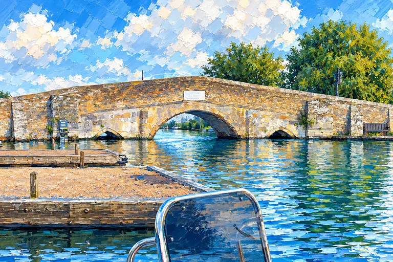
Painting of Potter Heigham’s low stone bridge from the water, looking through the central arch with mooring pontoons to port

Harbour

Potter Heigham

Home of the lowest bridge on the Broads — a medieval arch that guards the upper Thurne — plus long free banks, a bridge pilot and Lathams for supplies.

Painting of two white-sailed dinghies on a Broads reach past a riverside cottage — a general Norfolk Broads scene, not this stop

Harbour

Acle Bridge

The lower Bure’s main stop between the northern rivers and Great Yarmouth: a long free Broads Authority bank, a pub with moorings and a boatyard at the bridge.

Painting of two white-sailed dinghies on a Broads reach past a riverside cottage — a general Norfolk Broads scene, not this stop

Harbour

Great Yarmouth Yacht Station

The hinge of the Broads: a staffed Broads Authority yacht station on the tidal Bure, where northern and southern rivers meet across Breydon Water.

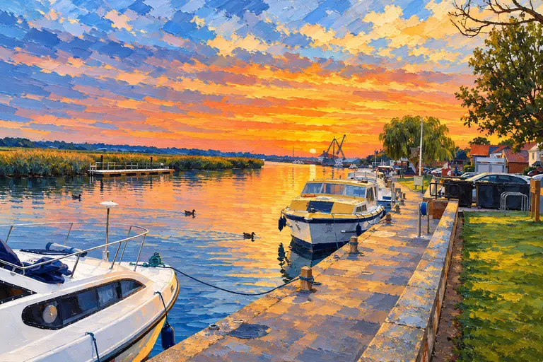
Painting of Reedham Quay at sunset: motor cruisers along the stone quay, reeds and a long golden reflection on the river

Harbour

Reedham

A riverside village on the tidal Yare with a staffed Broads Authority quay, a working railway swing bridge and Norfolk’s last chain ferry.

Painting of two white-sailed dinghies on a Broads reach past a riverside cottage — a general Norfolk Broads scene, not this stop

Harbour

Brundall

The Yare’s boatyard village between Norwich and Reedham — marinas, a riverside pub, a railway station and the RSPB’s Strumpshaw Fen nearby.

Painting of two white-sailed dinghies on a Broads reach past a riverside cottage — a general Norfolk Broads scene, not this stop

Harbour

Norwich Yacht Station

Moor in the middle of a medieval city: the Broads Authority yacht station on the Wensum, a short walk from the cathedral, castle and market.

Painting of two white-sailed dinghies on a Broads reach past a riverside cottage — a general Norfolk Broads scene, not this stop

Harbour

Beccles

A Suffolk market town on the Waveney with a quay, a lido and a separate bell tower — and the last unspoilt reach up to Geldeston Lock beyond its low old bridge.

Painting of two white-sailed dinghies on a Broads reach past a riverside cottage — a general Norfolk Broads scene, not this stop

Harbour

Oulton Broad

The Broads’ south-eastern gateway: a busy open broad with a yacht station, a waterside park and Mutford Lock through to Lowestoft and the sea.