A guide: tap for detailsArea A cruising area: tap to zoom in and see its guides
Loading the chart…
This map is for general orientation only and must not be used for navigation.
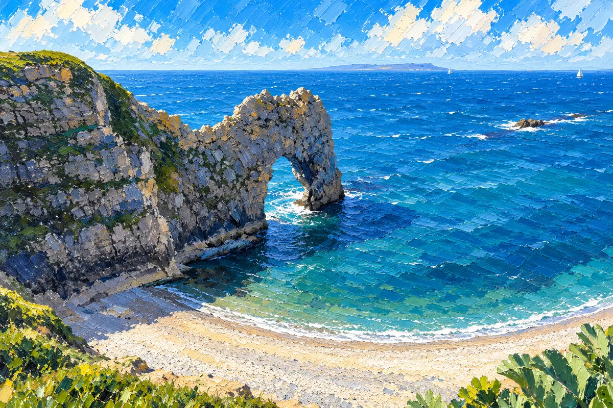
Durdle Door, Dorset Jurassic Coast, illustrated for Old Sea Dogs Guides. · Artwork supplied by Old Sea Dogs
Old Sea Dogs Guides
West Country
Devon and Cornwall’s south coast — deep river harbours, Start Bay and the long hop west from Portland Bill, starting with Dartmouth on the River Dart.
Cruising Area · West Country
Welcome to West Country
West of Portland Bill the character of the cruise changes. The chalk and racing streams of the Channel give way to the green hills and deep river mouths of south Devon and, further on, Cornwall. Distances stretch, shelter is often up a tidal river rather than behind a breakwater, and the best nights are spent under wooded banks with a steam railway or a castle on the hill.
This Old Sea Dogs West Country area opens with Dartmouth on the River Dart — the natural first stop for boats coming down-Channel from Weymouth, Portland or the Channel Islands. Later harbour guides will cover Salcombe, Plymouth, Fowey and Falmouth as those pages are written; they are named here only as the cruising chain ahead, not as live pages yet.
On the way west, Durdle Door is well worth seeing: the great limestone arch on Dorset’s Jurassic Coast, just west of Lulworth Cove and a few miles east of Weymouth. Boats coming down from the Solent pass it before Portland Bill, so in settled weather it is worth slowing down for a look before the long hop on toward Start Point and the Dart. It is a landmark to enjoy from the water, not a harbour.
Chart (Dartmouth)Admiralty Chart 2253 (Dartmouth Harbour / River Dart) — current edition
Depths & tidesCheck with the harbour office or marina before arrival. Use the official Dartmouth tide links; do not rely on copied heights.
Choosing a Berth
Dartmouth: Harbour Authority walk-ashore pontoons (Town Jetty, DA) and island Deep Water pontoons, Mainstream fore-and-aft buoys, plus private marina berths at Darthaven (Kingswear) and Dart Marina (Premier, Dartmouth side). Call Dartnav on Ch 11 on arrival; exact allocation is confirmed by the river patrol even when you have pre-booked for 2026.
Further west, later guides will cover Salcombe, Plymouth Sound, Fowey and Falmouth — each with its own harbour authority and marina options. Berthing detail for those places waits until the pages are researched.
From Portland Bill westbound, most leisure boats either work the inshore passage carefully in settled weather or stand off for a clear run toward Start Point and the Dart. The Dart entrance is well marked once close in (Daymark tower east of the entrance; Castle Ledge and Checkstone buoys), but the entrance does not advertise itself from far offshore — close the coast with a proper chart and a fair stream.
Durdle Door is worth seeing on the way west. Use your own chart and pilotage for that stretch; this guide gives no inshore directions for it.
Tidal streams in the Dart entrance seldom exceed about 2 knots flood or ebb, except after heavy rain or strong northerly winds when the ebb can run up to about 3.5 knots (Dart Harbour sailing directions). Upstream toward Totnes the river dries extensively at springs — treat upriver trips as a separate, tide-planned expedition.
Use free official tide sources for Dartmouth rather than copied heights. The site-wide conditions panel shows local wind; pair it with the tide-table links, in the same way as the Channel Islands guides. The Dart Harbour graph is in GMT.
Dartmouth, on the River Dart, is the first harbour guide in the West Country. Later pages will cover Salcombe, Plymouth, Fowey and Falmouth; they are not published yet. To the east lie the Weymouth & Portland guides.
The practical information in this Guide was checked against the source records below on 26 October 2026. Operational details can change — confirm with the harbour office or marina before arrival.
A deep, wooded river harbour between twin castles — walk-ashore pontoons in town, island pontoons and Mainstream buoys, and full-service marinas on both banks.
A deep, wooded river harbour between twin castles — walk-ashore pontoons in town, island pontoons and Mainstream buoys, and full-service marinas on both banks.
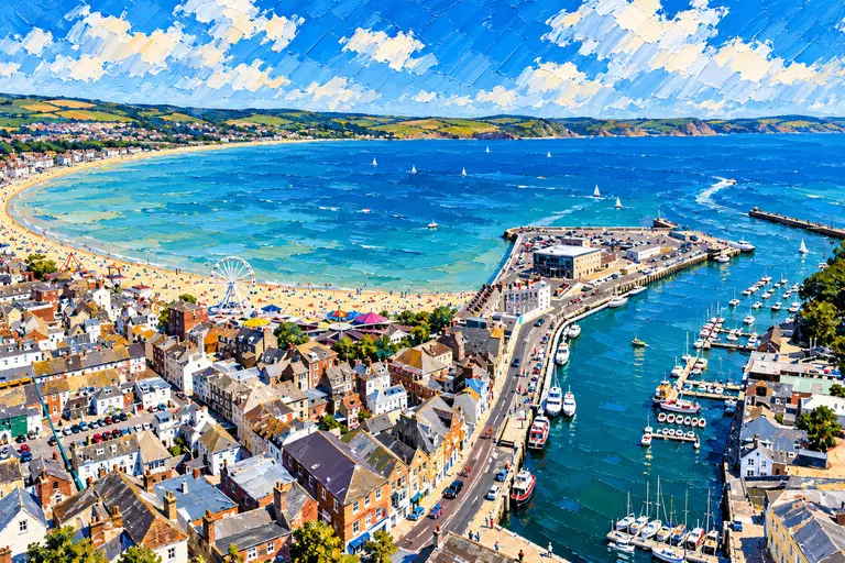
Two very different stops a few miles apart: a lively Georgian town harbour and a vast, all-tide naval harbour under the Isle of Portland.
Local knowledge
Know this area?
Old Sea Dogs welcomes constructive feedback from local sailors, harbour users and cruising skippers. If you have spotted something that has changed, or have local knowledge that would improve this Guide, we would be pleased to hear from you.
A deep, wooded river harbour between twin castles — walk-ashore pontoons in town, island pontoons and Mainstream buoys, and full-service marinas on both banks.