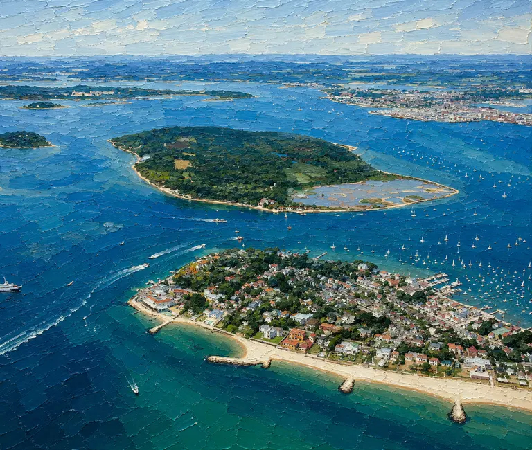
Setting & Character
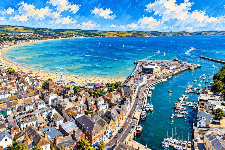
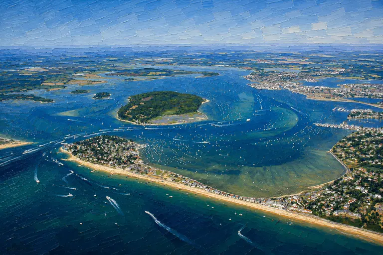
Poole Harbour Commissioners describe Poole as Europe's largest natural harbour. Its sheltered waters are shared by leisure craft, commercial shipping, ferries, watersports and internationally protected wildlife habitats.
Much of the inner harbour is shallow, while marked channels carry deeper-draught traffic. The result is a cruising area with plenty of room, but one where channel discipline and tide awareness matter.
Arrival by Sea
The Swash Channel is the principal marked approach and the sensible default for unfamiliar crews. Poole VTS uses VHF Channel 14, and PHC advises harbour users to maintain awareness of shipping movements before getting underway or entering the approaches.
The East Looe Cut is a secondary shortcut from the east. PHC's standing notice says it should be used only with caution, with under-keel clearance calculated carefully; for passage planning PHC gives a controlling depth of 0.7 metres below Chart Datum and warns that the sands move and buoy positions can lag sudden changes.
At the harbour entrance, give way to the chain ferry. PHC and BCP guidance both stress the narrow entrance, strong tidal streams and the need to pass well clear astern of the ferry.
Inside the Harbour
Once inside, the main channels lead toward Poole Quay, the Port of Poole, Hamworthy, Holes Bay and the Wareham Channel. Small craft must stay alert around the harbour entrance precautionary area, blind bends and large commercial vessel movements.
Speed limits and quiet areas vary around the harbour. The general harbour limit is 10 knots, with 6-knot limits in Little Channel and Holes Bay and additional quiet-area restrictions.
Where to Berth
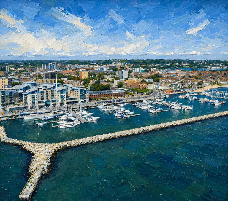
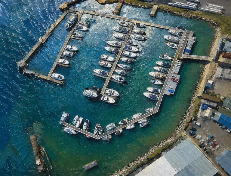
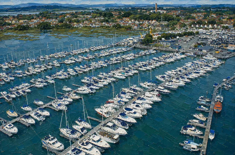
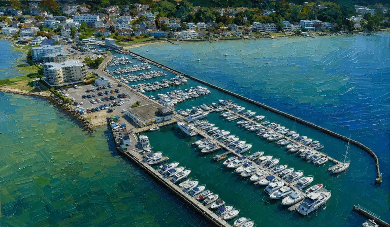
Visitor options range from Poole Quay Boat Haven on the town waterfront to larger and more sheltered facilities farther inside. This collection covers Poole Quay Boat Haven, Port of Poole Marina, Cobb’s Quay Marina, Salterns Marina, Parkstone Bay Marina and Lake Yard Marina.
The marinas differ markedly in access, depth, visitor availability and shore-side atmosphere, so berth choice should be made against the vessel’s draught, bridge requirements and intended time ashore.
Sandbanks & Brownsea Island
Sandbanks forms the eastern side of the harbour entrance and is an unmistakable landfall. Brownsea Island dominates the inner harbour; private craft may land only on the South Shore under National Trust rules, with no landing on the North Shore, sea wall or National Trust pier.
Best For
Crews looking for sheltered cruising, a choice of marinas, short hops between anchorages and easy access to Poole, Brownsea Island, Studland and the Dorset coast.
Less Suitable For
Skippers who are unwilling to plan around commercial traffic, strong tidal streams, shallow inner-harbour water or changing local navigation notices.
Nearby Cruising
Studland Bay and Old Harry Rocks lie immediately outside the entrance, with Swanage and the Jurassic Coast farther west. Eastbound, Poole provides a natural stepping stone back toward Christchurch Bay and the Solent.
Skipper's Notes
Listen to Poole VTS on Channel 14, check current shipping movements and Local Notices to Mariners, keep clear of large commercial vessels and give way to the chain ferry.
Do not rely on an old East Looe depth figure: PHC specifically warns that the sands shift and publishes a conservative planning depth for the cut.
Information checked against official sources
Navigation and harbour-safety information in this guide has been checked against Poole Harbour Commissioners’ 2026 Harbour Guide, current VTS and shipping information, standing Local Notices to Mariners and BCP Council harbour guidance.
Approach and arrival
Use the Swash Channel as the principal marked approach unless current PHC guidance and the vessel’s under-keel clearance support another route.
Before getting underway or entering the approaches, listen to Poole VTS on VHF Channel 14 for commercial movements.
The East Looe Cut is secondary: standing LNTM 52/2024 remains current and requires caution, suitable conditions and careful under-keel-clearance calculation.
Give way to the chain ferry, avoid obstructing it and pass well clear astern.
Tidal information
The harbour entrance has strong tidal streams, particularly at springs. Check current PHC tide data and plan the entrance accordingly.
Hazards and cautions
Chain ferry at the narrow harbour entrance.
Large commercial shipping and ferry movements in marked channels.
Shallow banks and drying areas away from dredged/marked channels.
East Looe Cut has shifting sands and changing depths.
Practical notes
Treat PHC’s live Harbour Guide, VTS broadcasts, shipping movements and Local Notices to Mariners as the operational sources immediately before passage.
Poole VTS Channel 14 is a traffic service, not a marina-arrival channel; contact the destination separately where it publishes an arrival channel.
Old Sea Dogs View
Poole is one of those cruising grounds where the entrance demands more concentration than the miles inside. Once through, the combination of sheltered water, town-quay life, island scenery and multiple marinas makes it an unusually flexible base for both a weekend and a longer stay.
Warnings
Use the latest Poole Harbour Commissioners Harbour Guide, Local Notices to Mariners, shipping movements, tide information and marina instructions before arrival.