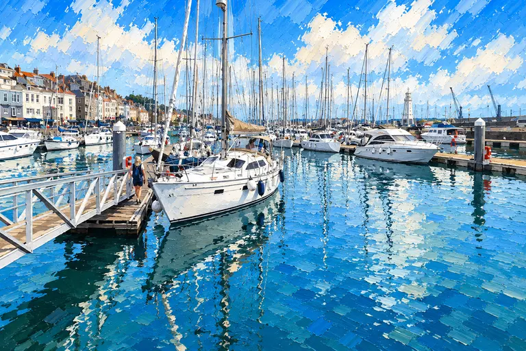
Heights, Chart Datum and the Tide
Depths on charts and heights in tide tables are measured from chart datum, a level close to the lowest astronomical tide. The height of tide is how far the water is above chart datum at a given moment. The depth over a sill or bar is therefore the height of tide minus the height of the sill or bar above chart datum.
Tides vary through the lunar month. At spring tides the range is largest, with the highest high waters and lowest low waters; at neap tides it is smallest. The UK Hydrographic Office publishes the mean high water springs (MHWS) height for each standard port: 6.8 metres at Dover and 7.3 metres at Calais, for example.
High water times and heights are published for standard ports, with differences for secondary ports nearby. High water at Ramsgate, for example, is about 20 minutes after high water at Dover. The tide times on Old Sea Dogs harbour guides and on our live tides page come from the UK Hydrographic Office’s ADMIRALTY service.
Sills
A sill is a wall or step across a marina entrance that holds water in the basin when the tide falls outside. Boats can only cross it when the height of tide gives enough depth over the top. Sill marinas publish the sill height above chart datum, and usually display a depth gauge at the entrance.
In St Peter Port, Guernsey, the sill at Victoria Marina is 4.2 metres above chart datum, giving access about two and a half hours either side of high water. Beaucette Marina, in a former quarry on Guernsey’s north-east tip, has about 2 metres over its sill around three hours either side of high water. On Alderney, Mainbrayce in Little Crabby Harbour is reached about two hours either side of high water depending on draught, with a tide gauge at the entrance.
Bars and Shallow Entrances
A bar is a bank of sand or shingle across a river mouth or harbour entrance. It works like a sill, but its height can change as it shifts. Littlehampton’s bar is 0.9 metres above chart datum, so the depth over it is the reading on the harbour’s tide boards minus 0.9 metres; Littlehampton Harbour Board recommends that first-time visitors arrive between two hours before and one hour after high water.
Brighton Marina’s entrance channel can silt, and its operator advises boats drawing more than 1 metre to keep clear of the two hours either side of low water. At Bembridge, on the Isle of Wight, the entrance channel dries and a depth gauge shows the water over the bar.
Locks and Bridges
A lock lets boats move between the tidal water outside and an impounded basin inside, and so it controls access by timetable or by request. At Shoreham, leisure craft reach Lady Bee Marina through the Prince George Lock, which locks boats into the canal on the half hour and out on the hour. At Eastbourne, Sovereign Harbour has two high-capacity locks that work 24 hours a day at all states of the tide. Dover’s Wellington Dock is reached through a lock booked with the marina office.
Some basins have tidal access without a lock. Ramsgate’s Inner Marina is reached about two hours either side of high water. A lifting bridge is the other common structure: at Calais the Pont Henri Hénon, at the marina entrance, opens from about two hours before to three hours after high water. At Littlehampton, masted boats need the footbridge opened, with requests made to the Harbour Office by 16:30 the day before.
| Harbour | Gate | Access |
|---|---|---|
| Shoreham (Lady Bee Marina) | Prince George Lock | In on the half hour, out on the hour |
| Sovereign Harbour | Two locks | 24 hours, all states of tide |
| Dover Wellington Dock | Lock | Booked with the marina office |
| Ramsgate Inner Marina | Tidal basin | About 2 hours either side of HW |
| St Peter Port Victoria Marina | Sill 4.2 m above CD | About 2½ hours either side of HW |
| Beaucette Marina | Sill | About 2 m over the sill 3 hours either side of HW |
| Littlehampton | Bar 0.9 m above CD; footbridge | First visit HW −2 to HW +1 |
| Calais | Pont Henri Hénon | About HW −2 to HW +3 |
Tidal Streams as Gates
Tidal streams are the horizontal movement of the water as the tide rises and falls. Where they are squeezed through a narrow channel or round a headland they run fast, and a passage is planned so the stream is with the boat, or at least slack, at that point.
Hurst Narrows, at the western entrance to the Solent, is a good example. The ADMIRALTY Solent folio shows the stream there running west-south-west out of the Solent at up to 4.4 knots at springs in the first three hours after high water Portsmouth, and east-north-east into the Solent at up to 3.9 knots in the hours before. In Christchurch Harbour the ebb runs at up to 8 knots in The Run, the narrow entrance channel, and Littlehampton’s spring ebb reaches 6 knots in the Narrows.
Around Alderney the streams are among the strongest in Europe. The ADMIRALTY diagrams show up to 6.8 knots at springs in the Swinge, and the French government’s environmental authority records that the Alderney Race (Raz Blanchard) can approach 12 knots on equinoctial spring tides. Overfalls in these places are worst when the wind blows against the stream.
Reading Tidal Stream Data
On ADMIRALTY charts, tidal streams are given at points marked with a lettered diamond. A table on the chart lists, for each hour from six hours before to six hours after high water at a reference port, the direction of the stream in degrees true and its rate in knots at spring and neap tides. Tidal stream atlases show the same information as arrows on a chart for each hour.
The reference port matters. In the Solent, streams are referred to high water at Portsmouth; in the eastern and central Channel and around the Channel Islands, they are referred to high water at Dover. Spring rates are roughly twice neap rates at the same diamond.
| Time (HW Dover) | Direction | Spring (kn) | Neap (kn) |
|---|---|---|---|
| −4 | 085° | 4.1 | 2.1 |
| −3 | 084° | 4.2 | 2.1 |
| HW | 287° | 0.4 | 0.2 |
| +3 | 258° | 4.2 | 2.1 |
Frequently asked questions
What is a tidal gate in sailing?
A point that can only be passed at certain states of the tide: a sill, bar or shallow channel that needs enough depth, a lock or bridge that opens at set times, or a narrows or headland where the stream runs strongly.
How do I work out the depth over a sill?
Subtract the sill’s height above chart datum from the height of tide at that moment. For example, Littlehampton’s bar is 0.9 metres above chart datum, so the depth over it is the tide board reading minus 0.9 metres.
What is chart datum?
The level from which charted depths and tidal heights are measured, close to the lowest astronomical tide.
Why are tidal streams referred to HW Dover?
ADMIRALTY charts for the eastern and central Channel and the Channel Islands give each hour of the tidal stream relative to high water at Dover, so a single tide table predicts the streams across the area.
Which marinas on the south coast have locks?
Examples in Old Sea Dogs Guides include Shoreham’s Lady Bee Marina (Prince George Lock), Sovereign Harbour at Eastbourne (two 24-hour locks) and Dover’s Wellington Dock.