The Route
From Dover the route runs south-east across the Dover Strait to Calais, or more southerly to Boulogne. Boats enter and leave Dover harbour with the permission of Dover VTS. Calais lies about 22 nautical miles away in a straight line; Boulogne about 25 nautical miles.
Along the English coast the Inshore Traffic Zone runs from a line between Shoreham and the CS1 buoy to a line south from the South Foreland. Further out are the two lanes of the Traffic Separation Scheme: the south-west-bound lane on the English side, monitored by Dover Coastguard, and the north-east-bound lane on the French side, monitored by CROSS Gris-Nez, divided by a central separation zone.
| From | To | Straight-line distance |
|---|---|---|
| Dover | Calais | About 22 nm |
| Dover | Boulogne-sur-Mer | About 25 nm |
| Ramsgate | Calais | About 27 nm |
Tidal Streams in the Strait
In mid-strait on the Dover–Calais line, ADMIRALTY diamond B (50°59.9’N 1°33.9’E) shows the stream running south-west from about six hours before HW Dover until two hours before, at up to 2.9 knots at springs and 2.0 at neaps. About one hour before HW Dover it is weak. From HW Dover until about three hours after, it runs north-east at up to 2.6 knots at springs and 1.8 at neaps, easing at four hours after.
Closer to Dover, at diamond A (50°57.4’N 1°23.5’E), the stream is south-west-going from six to three hours before HW Dover and north-east-going from one hour before to three hours after, at up to 2.9 knots. Because the streams run along the strait, they set a crossing boat sideways rather than along its course.
Calais is itself a standard port on the ADMIRALTY tide tables, with a mean high water springs height of 7.3 metres; Dover’s is 6.8 metres.
| Time (HW Dover) | Direction | Spring rate (knots) | Neap rate (knots) |
|---|---|---|---|
| −6 | 260° | 1.8 | — |
| −5 | 260° | 2.6 | — |
| −4 | 260° | 2.9 | 2.0 |
| −3 | 260° | 2.7 | — |
| −2 | 270° | 1.2 | — |
| −1 | 035° | 0.8 | — |
| HW | 060° | 1.7 | — |
| +1 | 060° | 2.5 | — |
| +2 | 060° | 2.6 | 1.8 |
| +3 | 060° | 1.9 | — |
| +4 | 053° | 0.8 | — |
| +5 | 277° | 0.5 | — |
The Traffic Separation Scheme
Rule 10 of the International Regulations for Preventing Collisions at Sea governs traffic separation schemes. A vessel shall, so far as practicable, avoid crossing traffic lanes, but if obliged to do so shall cross on a heading as nearly as practicable at right angles to the general direction of traffic flow. The rule fixes the boat’s heading, not its track over the ground, so in a cross-tide the track will run at an angle while the bow points straight across the lane. A vessel of less than 20 metres in length or a sailing vessel shall not impede the safe passage of a power-driven vessel following a traffic lane.
The Maritime and Coastguard Agency describes the Dover Strait as having full radar surveillance, with more than 400 commercial vessels using the scheme each day and more than 100 ferry movements across it, at speeds that can exceed 20 knots. The Channel Navigation Information Service, run jointly by Dover Coastguard and CROSS Gris-Nez, broadcasts traffic and navigation information on VHF Channel 11 every 60 minutes, or every 30 minutes when visibility is below 2 miles.
Ships of 300 gross tonnage and above report to the service; pleasure craft are not required to, but the broadcast on Channel 11 gives the current traffic and navigation warnings for the strait.
Leaving Dover
Dover is a port where permission from Dover VTS is needed to enter or leave. VTS works on VHF Channel 74, and boats approaching call from two miles out. The ADMIRALTY folio advises vessels passing Dover to keep at least one mile off the breakwaters. Dover Marina works on Channel 80 inside the harbour, and visitors are berthed in the Outer Marina, which is accessible at all states of the tide.
Entry to or departure from the port under sail alone is not permitted. The marina’s berthing masters hold C1331 forms for boats that need a paper pleasure craft report.
Arriving at Calais
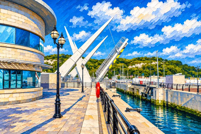
Calais is a ferry port, and the harbour works on VHF Channel 17, which is mandatory in the outer harbours. The marina’s Bassin Ouest works on Channel 9. The marina has about 390 berths, reached through the Pont Henri Hénon, a road bridge that opens from about two hours before to three hours after high water at Calais. The maximum draught is 3.5 metres, and fuel is available 24 hours.
French Customs lists Calais among the marinas linked to the border crossing point run by the Police aux Frontières at Calais.
Arriving at Boulogne
Boulogne-sur-Mer port works on VHF Channel 12 and the marina on Channel 9. The marina has a deep-water outer basin (avant-port) accessible 24 hours a day, with 70 visitor berths on pontoons A to D. The harbour speed limit is 5 knots, and entry is controlled by the port’s entry signals.
French Customs lists Boulogne among the marinas linked to the Police aux Frontières border crossing point at Boulogne.
VHF Channels
Dover Coastguard broadcasts maritime safety information at 07:10 and 19:10 local time, with shorter updates every three hours between, from aerials including Langdon (Channel 64) and Fairlight (Channel 62). CROSS Gris-Nez broadcasts weather in French on Channel 79 from Gris-Nez at 07:10, 13:10 and 19:10 French time.
| Station | Channel | Use |
|---|---|---|
| Coastguard (UK and France) | 16 / DSC 70 | Distress, urgency, safety and calling |
| Dover VTS | 74 | Permission to enter or leave; call from two miles out |
| Dover Marina | 80 | Berthing inside the harbour |
| Channel Navigation Information Service | 11 | Traffic broadcasts every 60 minutes (30 in poor visibility) |
| CROSS Gris-Nez weather | 79 | French weather bulletins |
| Calais port | 17 | Mandatory in the outer harbours |
| Calais marina (Bassin Ouest) | 9 | Marina |
| Boulogne port / marina | 12 / 9 | Port operations / marina |
Customs and Border Control
Leaving Great Britain for France, Belgium or the Channel Islands is a journey you must report. gov.uk asks for a pleasure craft report before you sail. Online, through the service 'Tell Border Force and HMRC you are sailing to or from the UK in a pleasure craft', the report goes in at least 2 hours and no more than 24 hours before departure, and it can be amended or cancelled if plans change. The report covers the boat, the skipper, passport details for everyone on board and the planned departure and arrival times. The emailed sPCR fallback template and the paper form C1331 remain available.
France is part of the Schengen area, so a yacht arriving from the UK crosses an external Schengen border. Under the current French procedure you either arrive at an official border crossing point (point de passage frontalier, PPF), where the skipper and crew report to the Police aux Frontières or the Douane with passports, boat papers and the entry form, or at one of the marinas on French Customs’ approved list, which forwards your form to its PPF. The French Customs form must reach the marina at least 24 hours before arrival, or at the latest when you leave the non-Schengen port if the voyage is shorter than 24 hours. The RYA’s understanding is that a Q flag is not required in France unless you have items to declare.
Coming back to Great Britain, gov.uk requires the yellow Q flag to be flown as soon as you enter UK waters (the 12-mile limit), and kept flying until you have finished reporting to the customs authorities. Anyone on board who is not a British or Irish citizen needs a Border Force officer’s permission to enter the UK before leaving the boat. Goods over the personal allowances, goods bought abroad worth more than £270 in total, animals and restricted foods must be declared, and gov.uk states that pets can only be brought into Great Britain on a private boat when travelling from Ireland or Northern Ireland.
At Dover, the Port of Dover asks arriving boats to fly the Q flag until Border Force has boarded or cleared the boat.
Frequently asked questions
How far is Calais from Dover by boat?
About 22 nautical miles in a straight line between the harbours. Boulogne-sur-Mer is about 25 nautical miles from Dover.
Do I need permission to leave Dover harbour?
Yes. Permission from Dover VTS on VHF Channel 74 is needed to enter or leave the port, and entry or departure under sail alone is not permitted.
What is broadcast on VHF Channel 11 in the Dover Strait?
The Channel Navigation Information Service, run jointly by Dover Coastguard and CROSS Gris-Nez, broadcasts traffic and navigation information on Channel 11 every 60 minutes, or every 30 minutes when visibility is below 2 miles.
When can boats enter Calais marina?
The Pont Henri Hénon, the road bridge at the entrance to Calais marina, opens from about two hours before to three hours after high water.
Which way does the tide run in the Dover Strait?
In mid-strait on the Dover–Calais line the stream runs south-west from about six to two hours before HW Dover and north-east from HW Dover to about three hours after, at up to 2.9 knots at springs.