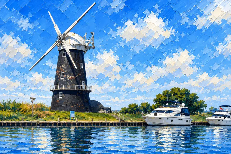
Setting & Character
How Hill sits on the River Ant above Ludham Bridge, with a thatched Edwardian house on the only real hill around and fen in every direction. Ludham village is on the other side, reached from the Thurne up Womack Dyke. We put them in one guide because they share a village and a day’s cruising — but they are on different rivers.
Bridges & Air Draught
To reach How Hill from the Bure you pass under Ludham Bridge on the Ant: 2.60 m at average high water. Most hire cruisers clear it, but check your air draught on a big tide. Womack Water is reached from the Thurne below Potter Heigham with no bridge.
Figures are Broads Authority clearances at average high water — read the gauge boards on the day.
Choosing a Berth
How Hill — free Broads Authority 24-hour mooring, 286 m of riverbank, with views over the marshes.
Womack Staithe, Ludham — managed by the village; free until 5pm, fee overnight; toilets and bins nearby.
Womack Island — sheltered, room for about three boats.
Womack Dyke — Broads Authority mooring near Hunter’s Yard.
Fuel & Facilities
Ludham village is a five-minute walk from Womack Staithe: Throwers village store and post office with a delicatessen, butcher, doctor’s surgery and garage. How Hill has only a seasonal tea room.
Pubs & Food
Contacts from Norfolk Broads Direct and venue pages — call ahead, hours change by season.
- The Kings Arms, Ludham — pub and restaurant with a patio and play area, 01692 678386.
- How Hill tea room — tea, cakes and sandwiches, 11am–4pm at weekends from late May to early September and daily in school holidays.
Things to See
Ashore and on the water.
- Toad Hole Cottage — tiny Broads Authority marshman’s cottage museum and information point at How Hill.
- Electric Eel — Broads Authority electric boat trips through the reed backwaters (seasonal).
- How Hill nature trail, Secret Garden and three restored drainage mills along the bank.
- Hunter’s Yard — 1930s wooden sailing yachts; the Norfolk Wherry Trust’s wherry Albion (1898).
- St Catherine’s Church, Ludham, with its hammerbeam roof and painted rood screen.
Tides
The Broads are tidal as far up as Norwich, Wroxham and Stalham. Use the Broads Authority tide table for Gorleston (Yarmouth Bar) and add the inland difference.
At How Hill & Ludham, high water is about 4 h 00 min after Gorleston (Broads Authority average figures).
This guide does not copy tide heights. Not for navigation.
Old Sea Dogs View
How Hill & Ludham is one stop on the Norfolk Broads hub — use the map there to plan the next leg.
Skipper's Notes
Quick notes before arrival.
- How Hill and Womack are on different rivers — allow time to go round by the Bure.
- Ludham Bridge 2.60 m at average high water.
- Womack Staithe is free until 5pm only.
Information checked against official sources
The practical information in this Guide was checked against the sources below on 30 October 2026. Operational details change — confirm with the Broads Authority, yacht station, yard or pub before arrival.
- Broads Authority — Moorings
- Broads Authority — Bridge heights and openings
- Broads Authority — Tide information
- Norfolk Broads Direct — How Hill
- Norfolk Broads Direct — Ludham
Frequently asked questions
Is mooring free at How Hill?
Yes. How Hill has 286 m of free Broads Authority 24-hour mooring on the River Ant.
Where do I moor for Ludham village?
Womack Staithe at the head of Womack Water, off the Thurne. It is free until 5pm and charged overnight. Womack Island and the BA Womack Dyke mooring are alternatives.
How high is Ludham Bridge?
2.60 m at average high water (Broads Authority bridge table). Clearance is less on a big tide.