Setting & Character
Ryde Marina sits on the northeast coast of the Isle of Wight, immediately beside the Esplanade and the town’s long sandy beaches. Across the water lie Portsmouth and the forts of the eastern Solent.
This is a practical town harbour rather than an isolated marina resort. Shops, restaurants, leisure facilities, buses, trains, taxis and passenger services to the mainland are all within walking distance.
Arrival by Sea
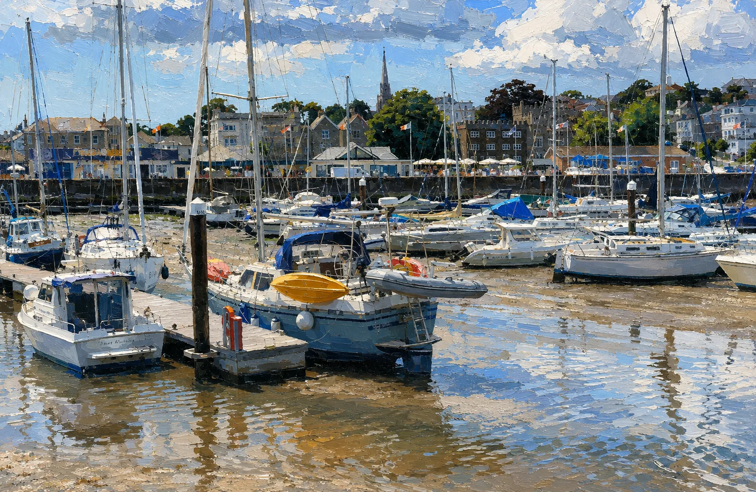
Ryde is a drying harbour. Entrance and departure depend on tidal height, actual vessel draught and the current condition of the channel. Contact Ryde Marina on VHF Channel 80 before visiting for up-to-date channel and entrance advice.
The approach crosses Ryde Sands through a buoyed drying channel. Keep clear of hovercraft manoeuvring between Ryde Pier and the marina and of high-speed passenger ferries using Ryde Pier Head. Consult current charts, tides, local notices to mariners and harbour instructions rather than relying on a fixed arrival window.
The entrance is marked after sunset by two fixed red lights vertically on the port side and one flashing green light on the starboard side.
Berthing Experience
Pontoon berthing is available for visiting vessels. The marina publishes capacity for boats up to approximately 14 metres, but berth availability and suitability should be confirmed directly before setting out.
Marina staff monitor VHF Channel 80 and can provide directions and assist with berthing. The basin dries at low water, so crews and vessels must be suitable for taking the ground.
Facilities
Published facilities include toilets and showers, water on the pontoons, electric hook-ups, waste and recycling points, coded pontoon access, CCTV and a public slipway. Confirm current availability, charges and access arrangements with the marina.
There are no public refuelling facilities in Ryde Marina. Plan fuel requirements elsewhere and follow the marina’s rules on waste, safety and pollution prevention.
Ashore
The marina’s position is its great strength. Ryde’s seafront, beaches, cafs, restaurants, shops and family attractions begin just outside the gate, while local transport makes onward exploration of the Island straightforward.
Ryde Pier and the nearby passenger terminals give the waterfront a distinct working character. Expect hovercraft and fast-ferry movements as part of the scene as well as the wide views across the eastern Solent.
Best For
Shallow-draught crews who plan around the tide and want immediate access to an Isle of Wight town, beaches and public transport.
Less Suitable For
Deep-draught vessels, crews requiring all-tide access, or any skipper unwilling to verify current channel conditions and take the ground.
Nearby Cruising
Ryde provides an eastern Isle of Wight stop with the Solent, Portsmouth and the approaches towards Bembridge nearby. Passage planning must account for Ryde Sands, commercial traffic and the exposed waters outside the harbour.
Skipper's Notes
Call Ryde Marina before committing to the approach. Give staff the vessel’s true draught and length, check the latest local notices and allow a conservative tidal margin. Monitor Channel 80 while approaching and keep a careful watch for hovercraft and ferry traffic.
Old Sea Dogs View
Ryde rewards proper tidal homework with something many marinas cannot offer: a berth beside a lively town, a broad sandy shore and fast links across the Solent. Treat the drying approach with respect and the convenience ashore is hard to beat.
Information checked against official sources
The practical information in this draft was checked against Ryde Marina, Ryde Town Council and Isle of Wight Council sources on 12 August 2026. Navigational conditions, depths, facilities, charges and operating arrangements can change; verify them directly before passage.