Setting & Character
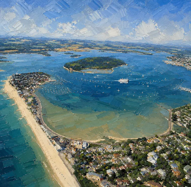
Old Harry Rocks mark the southern end of the bay, dunes and heath lie behind the beaches, and Sandbanks and the harbour entrance sit just round the corner. On a summer weekend the bay fills with day boats, yachts and paddleboards; out of season it can feel almost empty. It is National Trust country ashore, with beach cafés ashore.
Arrival by Sea
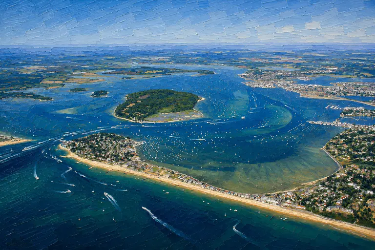
Most boats arrive from the Swash Channel into Poole Harbour or round from Old Harry. The approach is open and straightforward in settled weather, but the bay is exposed to the east and north-east and the Marine Partnership asks that eco-moorings are not used in swell above one metre.
Expect the seasonal buoys from April: yellow markers for the no-anchor zone and the speed limit, and white eco-mooring buoys within it. Plan with current charts and Poole Harbour Commissioners' Local Notices to Mariners; most of the bay lies outside the harbour's limits, but harbour traffic and the Swash Channel are close by.
Anchorage Experience
Inside the Voluntary No Anchoring Zone, pick up an eco-mooring rather than anchoring. Check the weight limit band on the block (blue for 5 tonnes, yellow for 10 tonnes), use the pick-up line, do not raft, and pay on arrival through the Sippi app or with the patrol's tap-to-pay.
Outside the zone, anchoring remains possible, but the MMO asks boaters to avoid any seagrass and use an eco-mooring where available. Safety of life at sea comes first: anchoring in an emergency is unaffected.
Studland Watersports, a partnership member, patrols the zone daily in season and can answer questions on the water.
Getting Ashore
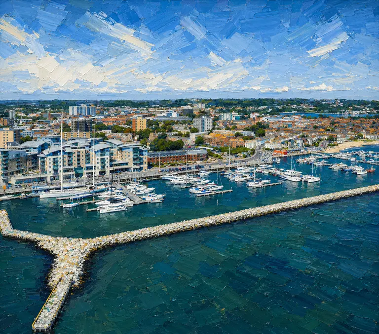
There are no pontoons, water or fuel in the bay. Land by tender on the beach, keeping clear of swimmers and the marked bathing areas. For fuel, water, pump-out and supplies, Poole Quay Boat Haven and the Poole marinas are a short passage inside the harbour.
Ashore
The beaches, dunes and heath belong to the National Trust, with cafés and facilities by the main beaches and a coastal path out towards Old Harry Rocks. Check opening hours for the dates of your visit.
Wildlife & Conservation
Studland has long been a favourite stop for Poole and Solent sailors. The Marine Conservation Zone and the voluntary no-anchor zone, introduced in December 2021 and expanded in June 2022, changed how the bay is used. The eco-moorings are a local compromise: boating continues, the seagrass recovers, and the mooring fees pay for the upkeep.
Best For
A lunch stop or settled-weather night just outside Poole; families wanting a sandy beach; crews who prefer to pick up a mooring and pay, rather than hunt for clean sand to anchor in.
Less Suitable For
Easterly or north-easterly weather; heavier boats over the mooring weight limits; anyone expecting shore power, water or a pontoon.
Nearby Cruising
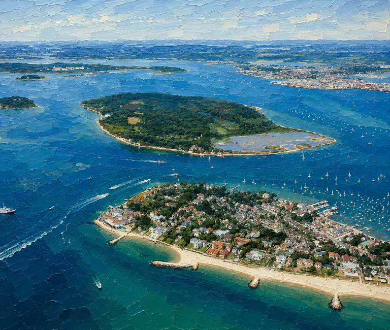
Poole Harbour, with Brownsea Island, Sandbanks and the Poole marinas, is minutes away through the Swash Channel. Christchurch Harbour and the western Solent through Hurst Narrows are the natural next legs east.
Skipper's Notes
Look for the yellow no-anchor buoys and white eco-moorings from April to the autumn. Check the weight band before picking up, pay on arrival, don't raft, and leave if the swell builds above a metre. Keep to 5 knots inside the speed-limit buoys. Monitor Poole VTS on Channel 14 when using the Swash Channel.
Old Sea Dogs View
Studland is still one of the great South Coast lunch stops. Pick up a mooring, pay your £7.50, and let the seahorses keep their seagrass.
Information checked against official sources
The practical information in this Guide was checked against the source records below on 21 October 2026. Operational details can change.
- MMO Studland Bay MCZ guidance (GOV.UK)
- Studland Bay Marine Partnership — eco-moorings
- Poole Harbour Commissioners LNTM 19/2026
- Poole VTS