Setting & Character
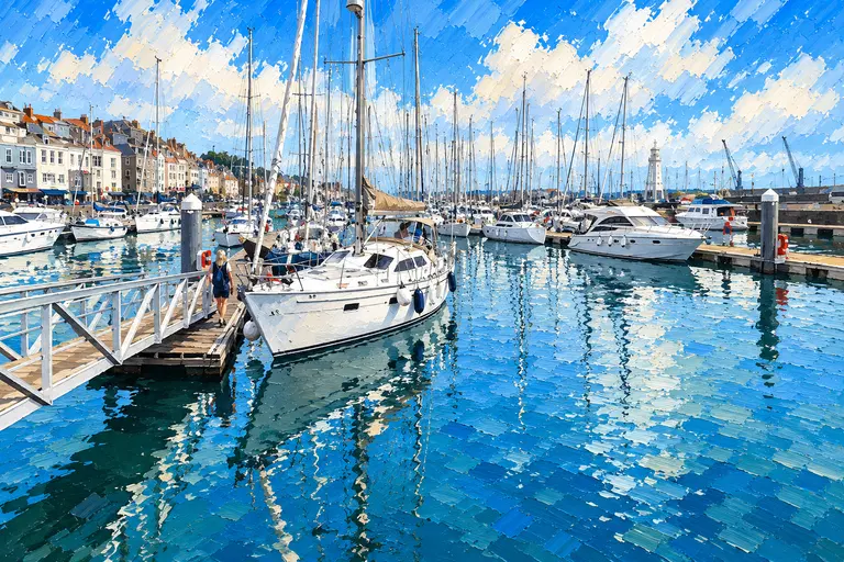
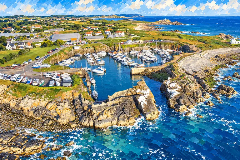
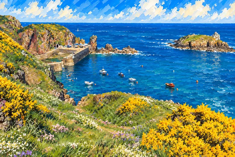
Herm is all sand, granite and footpaths, with a little harbour village, the White House Hotel and a handful of cafés and shops. Day-trippers arrive by ferry from St Peter Port; by evening it empties and becomes very peaceful.
Arrival by Sea
Herm is a short crossing from St Peter Port, but the Little Russel runs strongly and the approaches are rocky, so use a current large-scale chart and plan for the stream. A 6-knot speed limit applies in the approaches to Herm and Jethou and off most of the bathing beaches.
Herm is not a port of entry. You must first clear in at St Peter Port, Beaucette, St Sampson's or Braye in Alderney; you cannot arrive directly at Herm from outside the Bailiwick.
Anchorage Experience
Guernsey Harbours' anchorage notes, from the Guernsey Yacht Club, describe Herm Harbour as a half-tide harbour that is safe in nearly all weather and ideal for bilge-keelers and multihulls. Boats moor to ground chains and buoys on the sandy harbour beach, which has room for about 30, or fore and aft in the inner harbour, which takes about eight; keelboats can lie against the walls. To stay overnight, ask permission from the harbour administration office or the White House Hotel.
Shell Beach, on the east side, is called arguably the best anchorage, with good holding in sand and shingle in south-west to north-west winds; its south end is shallow at springs. Neighbouring Belvoir Bay is a pretty, steep-to cove that shoals at low water. At Rosière, anchor in the lagoon in 3 to 4.5 metres; weed on the eastern side can stop anchors holding, and some moorings there are kept for ferries and local boats.
Getting Ashore
Land by tender. At Rosière you may not tie up boats or dinghies at the landing, which covers soon after half flood; a few tenders can be carried up the rocks above the high-water mark, clear of the steps. In the harbour, keep the steps and ferry landing clear.
Ashore
Walk the coastal path round the island, swim off Shell Beach or Belvoir, and eat at the White House Hotel or the cafés by the harbour and the beaches. Opening times are seasonal, so check ahead.
Wildlife & Conservation
Herm's beaches, dunes and cliffs are the attraction, and the island is kept car-free. Keep to the speed limits off the beaches and take all rubbish back aboard.
Best For
Bilge-keelers and multihulls that can dry out; a lunch stop or calm night at anchor after clearing in at Guernsey; families who want a beach.
Less Suitable For
Deep-keeled boats wanting to lie afloat in any weather; easterly winds at Shell Beach and Belvoir; anyone who hasn't yet cleared customs.
Nearby Cruising
St Peter Port and Beaucette are across the Little Russel, and Sark is a few miles to the south-east.
Skipper's Notes
Clear in at Guernsey or Alderney first. Plan for the Little Russel stream, keep to 6 knots in the approaches, and choose an anchorage to suit the wind: Shell Beach in westerlies, or Rosière close to the landing. Ask the Herm office or the White House Hotel before staying overnight in the harbour.
Old Sea Dogs View
If your boat can take the ground, drying out on Herm's harbour beach is about as good as Channel cruising gets.
Information checked against official sources
The practical information in this Guide was checked against the source records below on 21 October 2026. Operational details can change.
- Guernsey Harbours — Anchorages (Guernsey Yacht Club notes)
- Guernsey Harbours — Port information (speed limits)
- States of Guernsey — GC27 and approved ports